

Official websites use .gov
A .gov website belongs to an official government organization in the United States.

Secure .gov websites use HTTPS
A lock or https:// means you've safely connected to the .gov website. Share sensitive information only on official, secure websites.

FGDC | Services and Resources
Navigation | Events | Policy | Directory | Lexicon | Standards | Registry | Mapping | API | Projects & Initiatives |
We envision the next generation National Spatial Data Infrastructure (NSDI) as a dynamic, service-oriented ecosystem that delivers comprehensive tools and resources to support all stakeholders. This future NSDI will provide integrated services such as an Events Registry for conferences and training opportunities, a Policy Repository for authoritative guidance and compliance documents, and a Contacts Directory to connect stakeholders across federal, state, local, tribal, academic, nonprofit, and private sectors. It will also include a Lexicon for standardized terminology, a Standards Registry for approved geospatial standards, and a Policy Registry for governance frameworks. Additionally, advanced Mapping Services and APIs will enable real-time visualization and data integration, ensuring interoperability and accessibility. Together, these capabilities will create a modern, collaborative infrastructure that empowers decision-making, fosters innovation, and strengthens the nation’s geospatial community.
Goals and Objectives
Enhance Accessibility: Provide a single entry point for discovering geospatial policies, standards, and authoritative datasets.
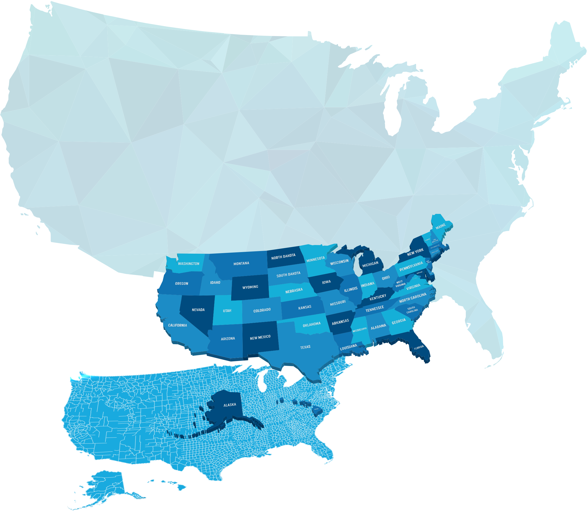

NSDI Services



Benefits for Stakeholders
- Federal Agencies: Streamlined compliance with GDA and OMB Circular A‑16; improved portfolio management and audit readiness.
- State & Local Governments: Easier access to authoritative data and standards; enhanced ability to integrate with national systems.
- Tribal Governments: Respectful inclusion through governance tools that support sovereignty and secure data-sharing agreements.
- Academia & Nonprofits: Access to research-grade datasets, standards, and collaborative opportunities for innovation.
- Private Sector: Clear pathways for interoperability, enabling integration of commercial solutions with NSDI services.
- Public Users: Improved discoverability of geospatial data and services for decision-making, emergency response, and community planning.
This vision positions the NSDI as a next-generation geospatial infrastructure—not just a data repository, but a service ecosystem that drives national resilience, economic growth, and informed decision-making.